
Accuracy Without Boundaries
Multidisciplinary geomatics firm providing critical spatial information for infrastructure, mining, and architectural development.
Multidisciplinary geomatics firm providing critical spatial information for infrastructure, mining, and architectural development.
Peba Surveys & Projects is a South Africa–based, modern land, engineering and geomatics surveying firm operating across the property, infrastructure, architectural and mining sectors. Established in 2025, the company has rapidly positioned itself as a multidisciplinary service provider within the Geomatics and Civil Engineering environment in Southern Africa.
We distinguish ourselves through a solid understanding of land surveying principles, measurement science and development processes, combined with the practical application of advanced survey technologies. Our work supports projects from initial feasibility and planning, through construction, verification and final certification.
Our extended team consists of Professional Land Surveyors, Engineering and Technical Surveyors, CAD and GIS specialists, registered drone pilots, and trusted industry partners. This structure allows us to deliver accurate, dependable and scalable survey solutions across a wide range of projects
BBBEE Status
Year Established
To deliver precise, reliable and high-value professional surveying services through technical excellence, ethical practice and consistent client engagement. We measure our success by the accuracy of our work, the safety of our operations, and the satisfaction of our clients by:
Our team is composed of qualified and experienced young African professionals, bringing diverse surveying methodologies across engineering, architectural, infrastructure and mining environments. Our project experience is reflected through the professional profiles and extensive field exposure of our director and technical leadership.



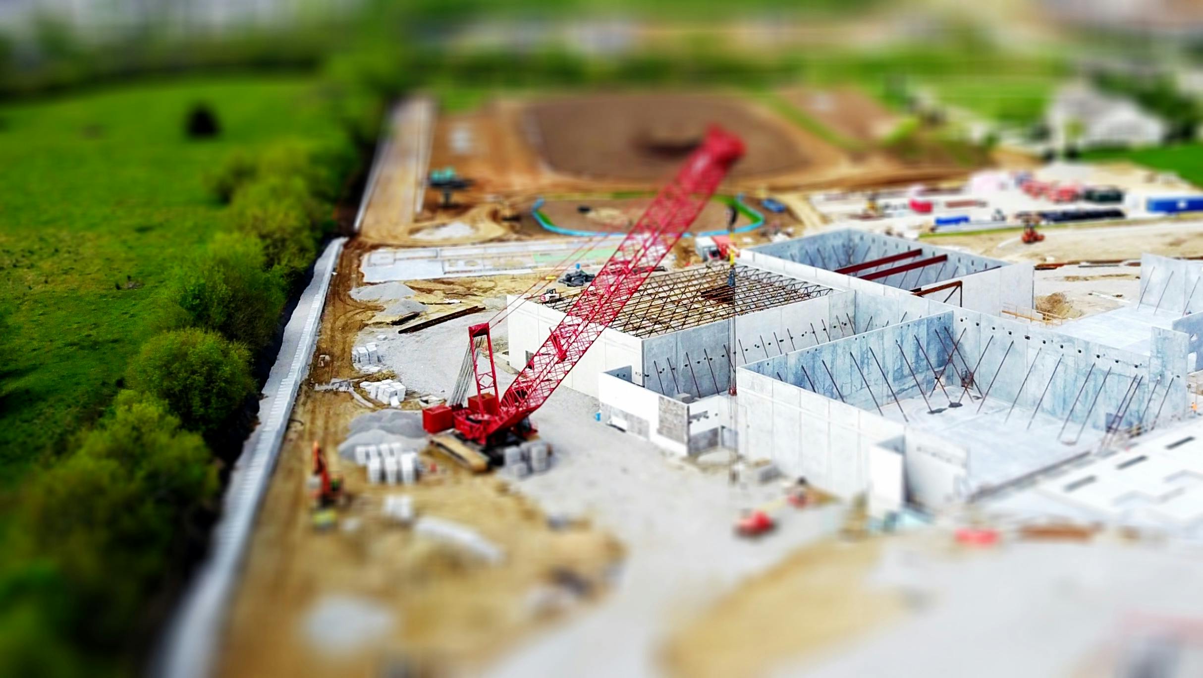
Infrastructure development, roads, earthworks, platforms, stormwater, and bulk services support through accurate survey data and construction layout.
Building layout surveys, as‑built verification, deformation monitoring, and spatial inputs supporting structural and architectural design.
Route surveys, road geometry, setting‑out, TMH11‑compliant surveys, and volumetric calculations for road and transport infrastructure projects.
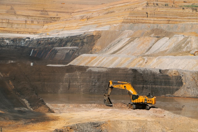
Opencast and underground mine surveying, stockpile volumes, control networks, deformation monitoring, and geospatial inputs for geotechnical analysis.
Spatial data acquisition supporting environmental assessments, land‑use planning, terrain modelling, and compliance‑driven developments.
Multidisciplinary survey integration for construction management, including progress verification, as‑built certification, volume tracking, and quality assurance.
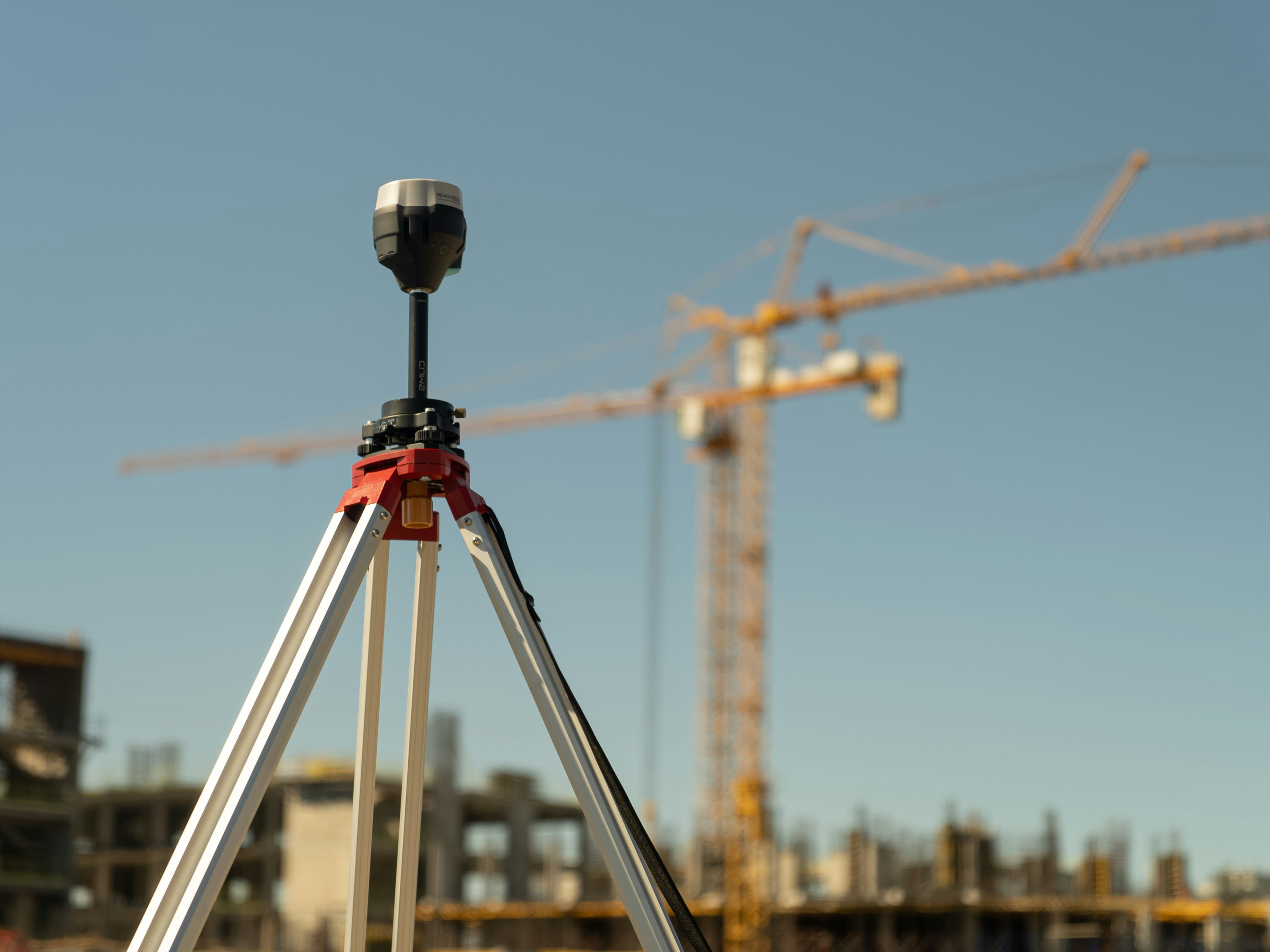
We provide engineering‑grade spatial data for infrastructure and construction projects, including:

Our architectural survey services support accurate design, refurbishment and compliance processes:
We offer specialised, high‑accuracy surveying services for the mining and industrial sectors:

Peba Surveys & Projects applies modern data capture and modelling methods to enhance survey outcomes:
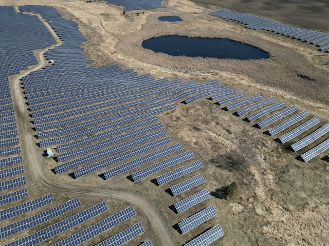 RENEWABLES
 MININGRENEWABLESMINING

Senior Geomatics Specialist
SAGC: GtcES2694
PEBA Surveys & Projects is led by qualified young African professionals who believe that measurement science is the catalyst for all infrastructure development.
Focused on 3D scientific representations and modern survey software integration.
Strict adherence to SAGC Regulations and Safety Acts (Environment & Health).
"We measure our achievements not just by the precision of our data, but by the satisfaction and success of our clients' projects."
We offer 24/7/364 support and rapid response via fully equipped mobile units.